Deliver to KUWAIT
IFor best experience Get the App
معلومات عنا
دعم العملاء
احصل على التطبيق

قم بتوجيه الكاميرا لتنزيل التطبيق
حقوق الطبع والنشر © 2024 Desertcart Holdings Limited
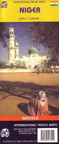
Folded road and travel map. Color changes show elevation levels. Shows roads from all-weather paved roads to seasonal dirt roads and tracks, with approximate distances in kilometers; airports; hotels, hostels, campsites or huts, and other accommodations; points of interest; vistas; museums; archaeological sites; wells and oases; parks; lava fields, sand dunes, and other natural features. Latitude/longitude grid. With city map of Niamey showing tourist information centers; banks; hospitals; embassies/consulates; bus terminals; camping and other accommodations; more. Main map scale 1:2,000,000. Distances in kilometers and miles.
ترست بايلوت
منذ يومين
منذ أسبوع