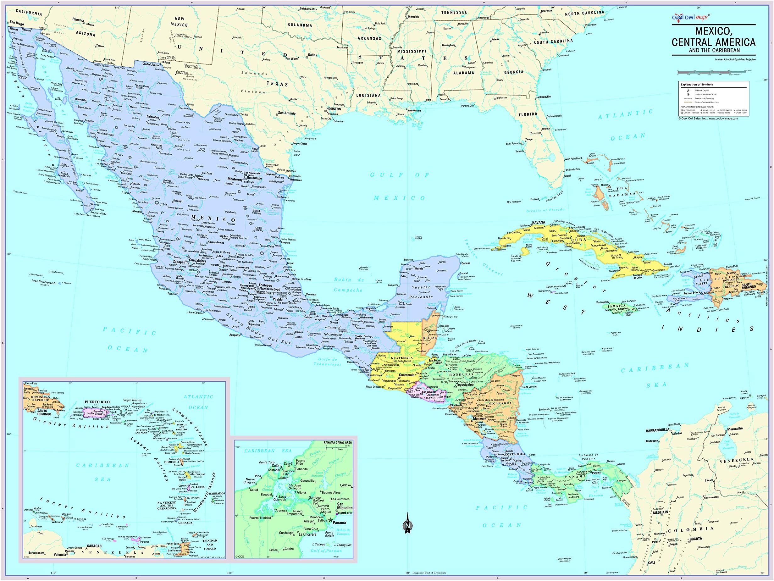
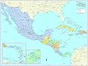
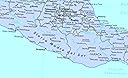
Cool Owl Maps Mexico, Central America, and Caribbean Wall Map - Rolled (40"x30") (Laminated)
Product ID: 208565989
Details
- BrandCool Owl Maps
- Map TypePolitical
- Sheet SizeW40"xH30"
- Item Weight5 Ounces
- Product Dimensions30"L x 40"W
🌈40"x30" vibrant laminated map
🗺️Detailed political boundaries & capitals
🇺🇸Made & printed in USA, 2024 edition
Buy anything from 5,000+ international stores. One checkout price. No surprise fees. Join 2M+ shoppers on Desertcart.
KD 27.30
1
Sold byAmazon KUWAITDelivered byDesertcartCustomer service byDesertcartReturns14 days · 30 with PRO
Buyer Protection · Full refund if your order doesn't arrive as described.
Desertcart purchases this item on your behalf and handles shipping, customs, and support to KUWAIT.
Secure transaction
Details
- BrandCool Owl Maps
- Map TypePolitical
- Sheet SizeW40"xH30"
Description
🗺️ Elevate your workspace with the map that means business.
- DURABLE LAMINATED FINISH - Resists wear and tear while providing a sleek, glossy look that elevates your wall aesthetic.
- GENEROUS 40 X 30 INCH SIZE - Large enough to command attention in any office, classroom, or home study without overwhelming your decor.
- VIVID COLOR CODED BOUNDARIES - Instantly distinguish countries and states with crisp, banded borders that bring clarity to your space.
- COMPREHENSIVE GEOGRAPHIC DETAIL - Includes all Mexico states, capitals, major cities, and key geographical features for an authoritative reference.
- PROUDLY MADE IN THE USA 2024 EDITION - Support quality craftsmanship with the latest up-to-date political info, perfect for professionals who demand accuracy.
The Cool Owl Maps Mexico, Central America, and Caribbean Wall Map is a vibrant, laminated 40"x30" political map featuring detailed country boundaries, all Mexico states and capitals, and major geographic landmarks. Printed in the USA in 2024, it combines durability with up-to-date accuracy, making it an ideal decor and reference piece for professionals, educators, and map enthusiasts alike.
Specifications
| Customer Reviews | 5.0 5.0 out of 5 stars (1) |
Common Questions
Yes, all products are sourced directly from authorized retailers in the US, UK, UAE and India. We maintain strict quality control processes and verify each product before shipping. All items come with applicable manufacturer warranties and are covered by our standard return policy.
Delivery times vary by destination country, typically ranging from 3-9 business days. Each order is fully trackable through our system. We handle all customs clearance and use reliable courier partners for last-mile delivery. You'll receive regular updates about your order status via email and our app.
Desertcart is an international e-commerce platform operating since 2014. We securely process thousands of orders globally each day. Every product goes through our quality verification process before delivery, and we provide end-to-end order tracking, 24/7 customer support, and a comprehensive returns policy to ensure a safe shopping experience.
Our prices include the product cost, international shipping, import duties, customs clearance, and local delivery charges. We handle all customs and import procedures, ensuring there are no hidden fees upon delivery. PRO members receive additional benefits including free shipping.
Trustpilot
TrustScore 4.5 | 7,300+ reviews
Shop Global, Save with Desertcart
Value for Money
Competitive prices on a vast range of products
Shop Globally
Serving millions of shoppers across more than 100 countries
Enhanced Protection
Trusted payment options loved by worldwide shoppers
Customer Assurance
Trusted payment options loved by worldwide shoppers.
Desertcart App
Shop on the go, anytime, anywhere.